🌍 Terrain & Geography

Geographic Factors Affecting Coverage

How Oman's mountains, deserts, coastal plains, wadis, and urban landscapes each shape the reach and quality of network signals across the Sultanate.

Oman's Landscape: A Coverage Perspective

With one of the most varied terrains in the Arabian Peninsula, Oman's geography is the primary determinant of where network signals can travel freely and where they are obstructed.

Oman's diverse geographic landscape including mountains, desert and coastal city

Why Geography Matters for Connectivity

Radio signals used in mobile communications travel as electromagnetic waves. Like light, these waves travel in straight lines and can be reflected, refracted, absorbed, or blocked by physical obstacles. The more varied and rugged the terrain, the more complex signal behaviour becomes.

In Oman, three dominant geographic environments define coverage patterns: the mountainous north and east, the vast desert interior, and the densely populated coastal corridor. Each presents a fundamentally different set of conditions for network infrastructure planning and signal propagation.

Understanding these environmental contexts helps explain why someone standing in central Muscat has near-perfect reception, while a traveller in the Wahiba Sands may find only the faintest 2G signal β€” or none at all.

πŸ”οΈ

Mountains

The Al Hajar mountain range forms the geological backbone of northern Oman, stretching approximately 500 kilometres from the Musandam Peninsula in the north to the Ra's al Hadd region in the east. Within this range, Jebel Shams rises to over 3,000 metres above sea level, making it the highest peak in the Arabian Peninsula.

Mountains create significant challenges for signal propagation in several ways. First, they act as physical barriers β€” radio waves from a tower located in a valley cannot pass through solid rock, so areas on the opposite side of a ridge are left in a "radio shadow." Second, the steep topography makes it difficult and expensive to install towers at sufficient density to cover every valley and wadi.

However, mountains also offer opportunities. Towers placed on elevated ridgelines can broadcast signals over exceptionally wide areas, covering multiple valleys and communities with a single installation. In Oman, certain mountaintop infrastructure provides coverage to remote communities that would otherwise be unreachable from valley-level towers alone.

Key insight: The Jebel Akhdar plateau and the approaches to Jebel Shams are among the most signal-challenging areas in Oman due to extreme elevation changes over short distances.

  • Steep valleys create "radio shadow" zones
  • High ridgelines can extend coverage range
  • Winding mountain roads experience frequent signal drops
  • Popular trekking areas often have limited connectivity
  • Rock composition affects signal absorption rates
Signal tower broadcasting over mountainous terrain showing coverage shadows
Vast sand desert landscape representing Oman's desert interior
🏜️

Deserts

Approximately 82% of Oman's land surface is desert or semi-arid terrain. The most dramatic of these is the Rub al Khali β€” the "Empty Quarter" β€” which extends into southern Oman from Saudi Arabia. This is the world's largest continuous sand desert, and its sheer scale makes comprehensive coverage infrastructure economically unfeasible given the extremely sparse human population.

Ironically, flat desert terrain is technically favourable for signal propagation. Radio waves can travel unobstructed for long distances across flat ground, meaning that a single tower can theoretically serve a very wide area. However, the extreme distances between settlements, combined with low population density, reduce the economic justification for dense tower networks.

Sand itself has relatively low signal absorption properties compared to dense rock or water, which means the signal that does exist in desert areas can be surprisingly consistent β€” weak, but stable β€” across wide stretches. The primary limitation is simply the absence of infrastructure, not the sand itself.

The Sharqiyah Sands (Wahiba Sands) in eastern Oman present a similar challenge, though on a smaller scale. Tourist camps and entry points are typically served, but venturing deep into the dune fields often results in diminishing signal quality.

Key insight: Desert coverage is primarily limited by infrastructure economics β€” the flat terrain itself is not a major signal obstacle, but the cost of serving very low population densities is high.

  • Flat terrain allows long-distance signal travel
  • Low population density limits infrastructure investment
  • Main highways typically have baseline coverage
  • Sand does not significantly absorb radio signals
  • Extreme heat can affect tower equipment performance
πŸ™οΈ

Urban Areas

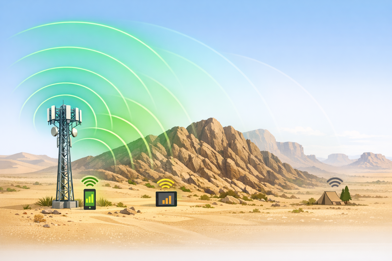
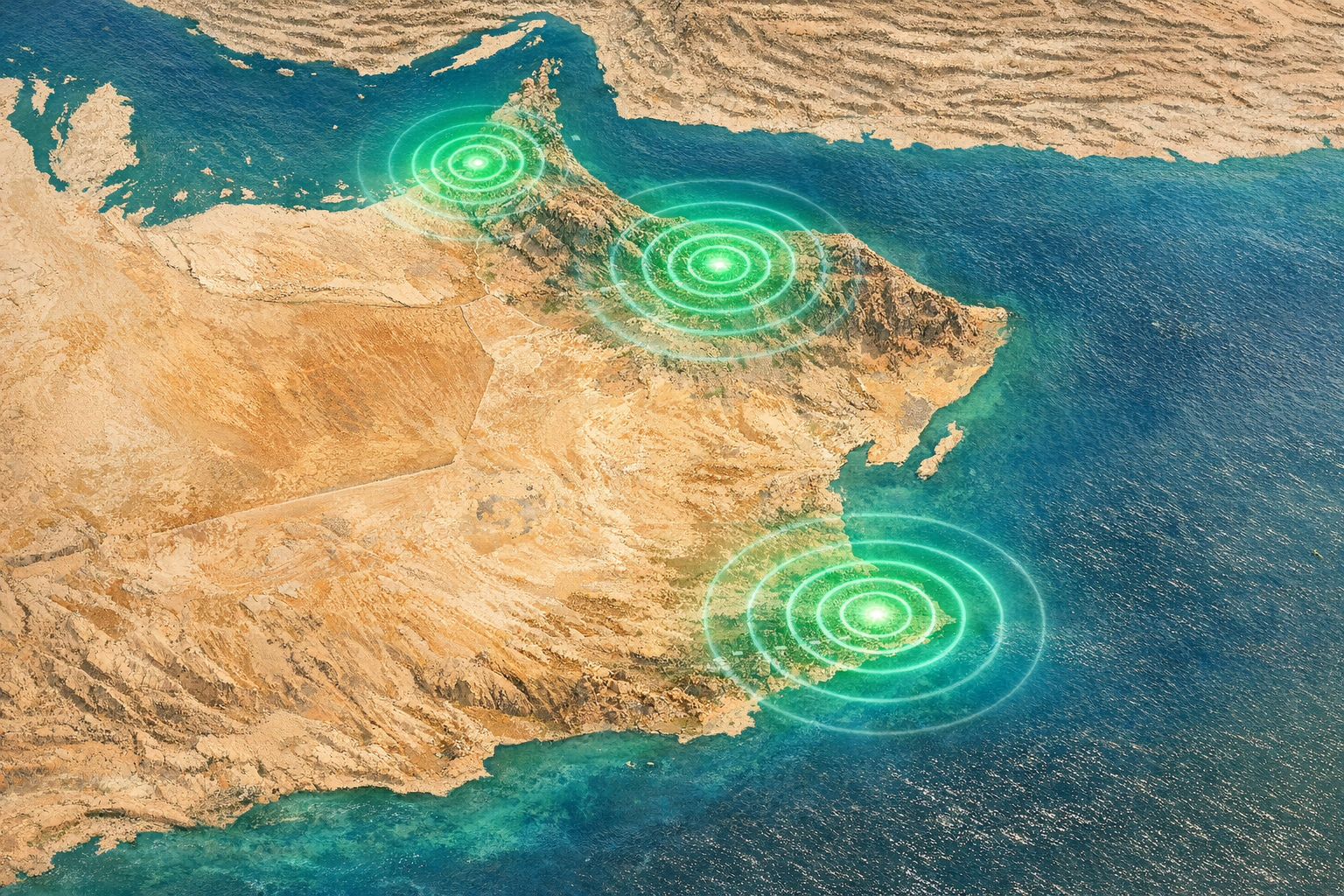
Urban areas present a paradox in mobile coverage: they are simultaneously the regions with the most infrastructure and the most complex signal environments. Oman's cities β€” most notably the Greater Muscat area, Sohar, Nizwa, Sur, and Salalah β€” concentrate the majority of the country's telecommunications towers and base stations.

In dense urban environments, buildings both help and hinder coverage. Tall structures can block direct signals, creating "urban canyons" where the phone must rely on reflected signals from multiple surfaces. However, the high concentration of towers in cities means there are usually multiple overlapping coverage sources, reducing the impact of any single obstruction.

Indoor coverage is another consideration unique to urban settings. While outdoor signals in cities are generally strong, signal penetration through thick concrete walls, underground car parks, and large commercial buildings can reduce reception quality. Multi-storey buildings also experience floor-dependent variation in signal strength.

Muscat represents the gold standard for Oman's urban coverage. The capital's major districts β€” Al Khuwair, Al Mouj, Madinat Qaboos, Wadi Kabir, Muttrah, and Ruwi β€” are served by dense networks of towers ensuring broad indoor and outdoor coverage across all generations of mobile technology.

Key insight: Urban coverage in Oman's major cities is generally excellent for outdoor use. Indoor reception can vary based on building materials and floor level, but is typically sufficient for standard usage.

  • Dense tower networks provide overlapping coverage
  • Tall buildings can create localised signal shadows
  • Indoor coverage varies by building construction
  • Multi-generational networks (2G/3G/4G/5G) co-exist
  • High data traffic areas may experience congestion
Aerial view of Oman's coastal urban corridor showing concentrated signal coverage

Additional Geographic Considerations

Beyond mountains, deserts, and cities, several other geographic features shape coverage patterns across Oman.

🌊

Coastal Plains

The Al Batinah coastal plain runs for over 270 km along the Gulf of Oman. Its flat, populated terrain makes it ideal for signal propagation, and this strip supports some of the strongest and most consistent coverage outside of Muscat itself.

πŸ”οΈ

Wadis (Valleys)

Oman's wadis β€” dry riverbeds cutting through mountain terrain β€” create narrow corridors with challenging coverage conditions. Deep wadis with high rock walls on both sides may receive signal only when directly in line-of-sight of a tower, leading to unpredictable reception as one travels through them.

🌿

Dhofar Highlands

The monsoon-influenced Dhofar region is unique in Oman. During the Khareef season, dense fog and heavy moisture in the atmosphere can slightly attenuate radio signals β€” a rare weather-related coverage factor in an otherwise dry country.

🏝️

Islands & Peninsulas

Oman includes several offshore islands and the dramatic Musandam Peninsula β€” an exclave separated from the main territory by the UAE. These geographically isolated areas present unique coverage challenges and may rely on dedicated infrastructure or cross-border signal supplementation.

πŸŒ…

Elevation Changes

Oman's terrain transitions rapidly from sea level to several thousand metres within very short distances. This dramatic elevation gradient means that signal conditions can change dramatically within just a few kilometres of travel, particularly on mountain roads.

πŸ›£οΈ

Highway Corridors

Major national highways connecting Oman's cities have been progressively covered as part of infrastructure expansion. Highway 1 (Muscat–Salalah), at over 1,000 km, has towers placed along its route, though gaps remain in the most remote interior sections.

⚠️ Disclaimer: OmanCoverageGuide.org is an independent informational website and is not affiliated with any telecom operator in Oman. This site does not provide mobile services, SIM cards, data plans, or payment processing of any kind. All geographic information is provided for educational purposes only.